From drone data to the fireline: how Lenovo Legion technology supports wildfire mapping
A wildland firefighter developed a system using Lenovo Legion laptops to convert drone thermal imagery into standardized wildfire maps, reducing processing time to 18 minutes and improving firefighting efficiency.
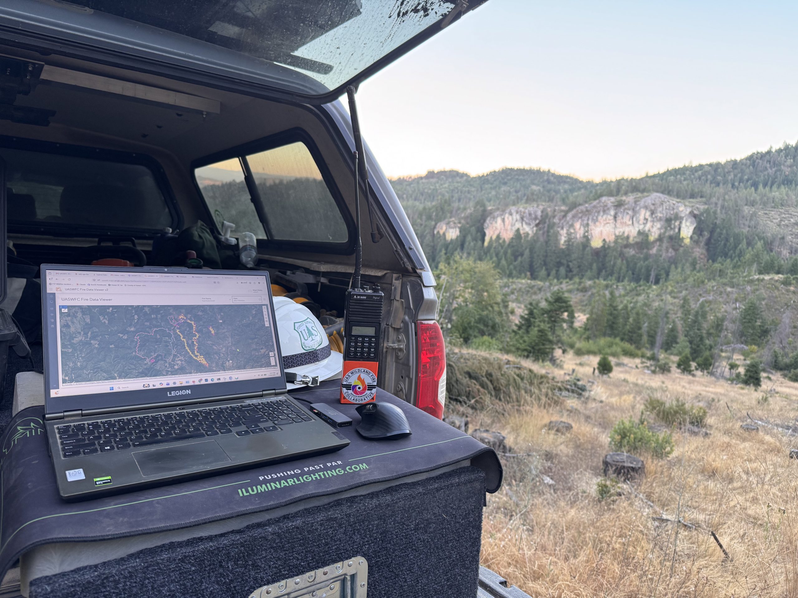
A drone pilot flying overnight over a wildfire captures thermal data, but historically, this information often remained on memory cards or laptops, delaying its use in morning briefings. The challenge was transforming raw drone footage into actionable maps quickly enough to inform firefighting decisions before the next operational period. This bottleneck led to the creation of the UAS Wildland Fire Collaborative, a nonprofit using Lenovo Legion hardware to standardize and distribute critical wildfire data.
Thermal drones identify heat sources, spot fires outside containment lines, and highlight areas needing attention, but inconsistent data formats and naming conventions complicate processing. During one incident, the system encountered 34 different versions of a fire’s name, creating extra work for GIS specialists. The Collaborative’s solution automates file identification, matches data to the correct incident, and generates standardized maps, including topographic sheets, GIS-compatible datasets, and Google Earth files.
The processing pipeline, developed on a Lenovo Legion 5, reduces the median time from data upload to final approval to 18 minutes, ensuring firefighters receive critical information in time for morning operations. The system produces detailed maps showing heat perimeters, hot spots, and potential heat signatures, which are reviewed by pilots before distribution. Approved data is shared through existing agency tools and a public archive.
Building the system required significant computing power, with the Legion 5’s NVIDIA graphics card essential for processing hundreds of thermal images into usable maps. During a flight over West Fork Evans Creek, 195 thermal photographs were processed into a completed map in six minutes. The Legion remains vital for local development and handling large datasets, such as LiDAR mapping, while cloud processing supports broader user access.