Making global public health more proactive with Google Earth AI
Google introduced Earth AI tools using AI, satellite imagery, and geospatial models to help public health teams predict disease outbreaks and target resources more effectively.
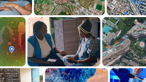
Google is deploying artificial intelligence and satellite imagery to assist public health officials in forecasting disease outbreaks and directing resources to at-risk populations faster than traditional methods. The technology enables rapid identification of vulnerable communities, such as those at risk of Ebola in remote areas, within minutes. Researchers and health professionals can access these insights at no cost or apply for Google Earth credits to support local initiatives. The goal is to shift emergency responses from reactive measures to proactive prevention.
Public health teams often face geographic blind spots, fragmented data, and reporting delays when tracking outbreaks or projecting health trends. Google’s Earth AI combines environmental signals, satellite imagery, mobility data, and foundation models like AlphaEarth Foundations and the Population Dynamics Foundation Model (PDFM). A prototype Geospatial Reasoning agent further enhances decision-making by uncovering connections between people and their environments.
During the Ebola outbreak in the Democratic Republic of Congo (DRC), partners at the World Health Organization’s Regional Office for Africa and the DRC’s National Institute of Biomedical Research (INRB) tested two research prototypes. These included a Geospatial Reasoning agent for conversational spatial mapping and a planetary prediction engine for autonomous disease forecasting. The tools provided timely insights and decision support through plain-language interactions.
PDFM integrates aggregated search trends, mobility, and environmental patterns to create high-resolution community health pictures, available commercially as Population Dynamics Insights. Google.org has also funded INRB to modernize local testing and disease surveillance. Eligible organizations can request no-cost access or apply for Google Earth credits to expand their public health capabilities.