Transform any place with Nano Banana in Google Earth
Google Earth has paused its Nano Banana image-generation feature after policy concerns arose from user-shared AI-generated images, despite watermarking and limited visibility.
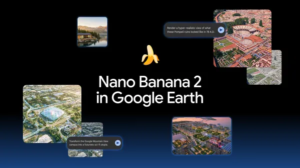
Google Earth introduced Nano Banana 2’s image-generation tool on July 30, allowing users to create custom visuals using real-world satellite and 3D imagery. By typing prompts, users could visualize historical scenes, such as Pompeii in 78 A.D., or generate infographics like one detailing the Statue of Liberty’s history. The feature aimed to assist educators, students, and professionals in transforming static maps into dynamic learning or planning tools.
Architects and urban planners could use the tool to pitch projects by rendering photorealistic 3D models of proposed developments, such as a shopping district in Tokyo or a lakefront cabin. The AI-generated images were watermarked and did not appear in the main Google Earth experience for other users, limiting exposure. The feature was available globally to Google Earth web users at no additional cost.
On July 31, Google announced a rollback of the Nano Banana feature while implementing stronger guardrails to address policy violations. The company noted that while the generated images were not publicly visible in Google Earth, user-shared screenshots had raised concerns. Google emphasized its commitment to maintaining a reliable and policy-compliant geospatial platform.
The pause underscores the challenges of balancing innovative AI tools with content moderation in a platform relied upon by professionals and the public. Google did not specify a timeline for reintroducing the feature but indicated ongoing efforts to refine its approach. Users can still access Google Earth’s core functionalities, including satellite and 3D imagery, for standard navigation and analysis.