Quality Assessment Report Evaluates Polar Geospatial Center EarthDEM Elevation Products
NASA’s CSDA program released a quality assessment report on the Polar Geospatial Center’s EarthDEM elevation products, evaluating their accuracy for Earth science research.
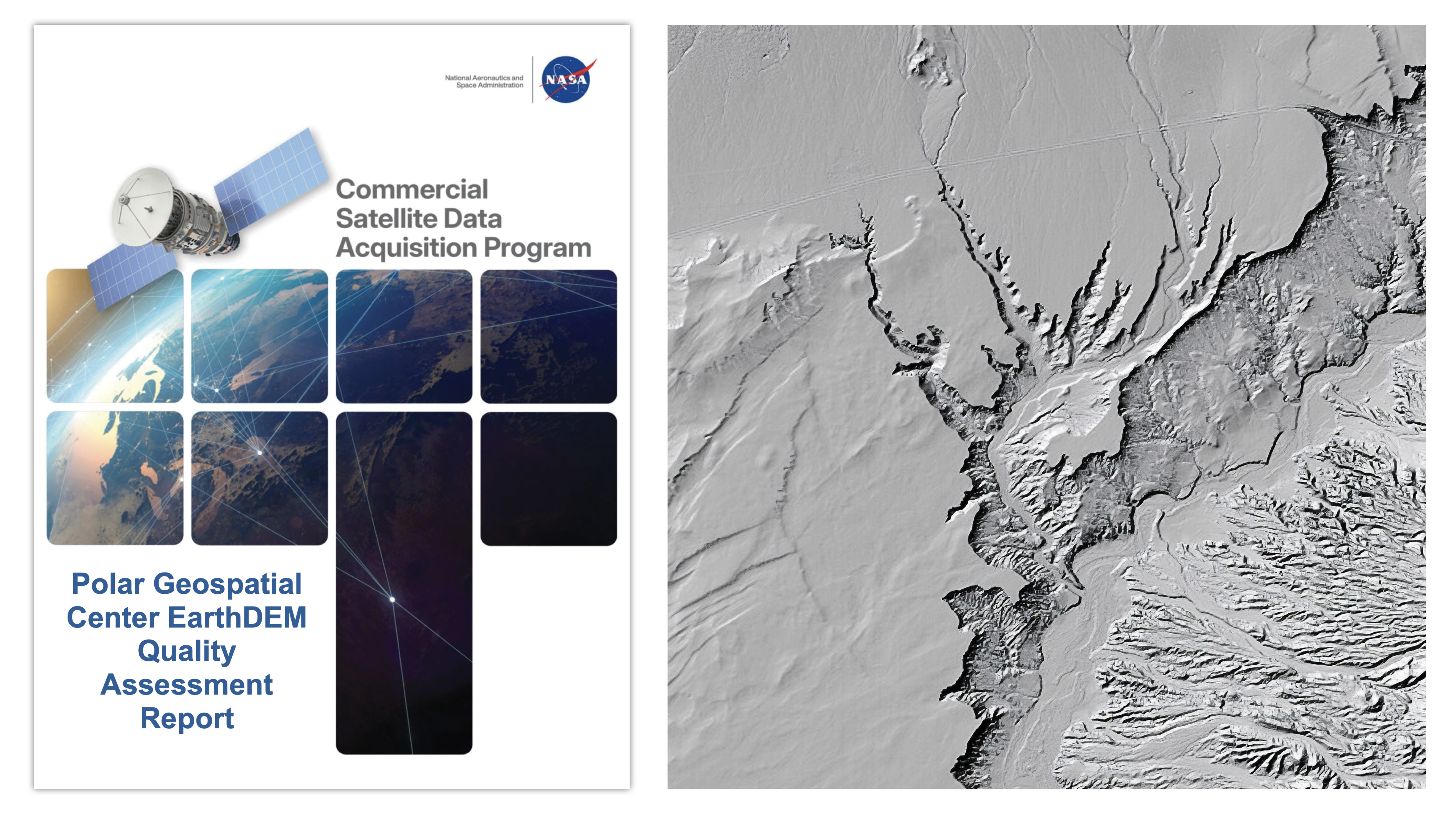
NASA’s Commercial Satellite Data Acquisition (CSDA) program issued a quality assessment report on August 8, 2026, evaluating the Polar Geospatial Center’s (PGC) EarthDEM Digital Elevation Models (DEMs). The report assessed the horizontal and vertical accuracy of two EarthDEM products—Mosaic Tile and Strip Digital Surface Models (DSMs)—using airborne lidar data from the United States and Senegal. The evaluation found the horizontal accuracy of both products met PGC specifications, receiving an "Excellent" grade, while vertical accuracy varied by land cover type and cloud cover metadata, resulting in a "Basic" compliance rating. The assessment supports the use of EarthDEM data for NASA Earth science research, provided its limitations align with specific project requirements.
The report also reviewed documentation for the EarthDEM product, including the PGC website, user guide, peer-reviewed publications, and the PGC GitHub repository. Authors concluded the product is "well documented," with most information available through these sources. The CSDA program, established to evaluate commercial data for NASA’s Earth science goals, highlights the potential of commercial satellite data in advancing Earth System Science and applications for societal benefit. The report emphasizes the cost-effectiveness of commercial data in complementing NASA’s Earth observations alongside other U.S. and international partners.
The evaluation compared EarthDEM Strip DSM and Mosaic Tile products to airborne lidar data, finding horizontal accuracy of 0.5-meter RMSEH for Strip DSM and 0.3-meter RMSEH for Mosaic Tile, both meeting PGC specifications. Vertical accuracy ranged from 4.6 to 6.8 meters RMSEV for Strip DSM and 4.9 meters RMSEV for Mosaic Tile, depending on land cover and cloud cover metadata, exceeding PGC’s 0.5-meter RMSEV specification. The report notes that vertical accuracy compliance was graded "Basic" due to this variation, indicating the data’s suitability depends on specific research needs.
The CSDA program was created to identify and acquire commercial data supporting NASA’s Earth science research and applications. The report underscores the role of commercial satellite constellations in providing efficient and cost-effective Earth observation data. NASA’s Earth Science Division recognizes the potential impact of these data in advancing Earth System Science and applications for societal benefit. The full report and related documents are available on the Polar Geospatial Center vendor page under the CSDA website’s "Evaluation" section.