How Planetary Intelligence Is Opening New Geospatial Frontiers
Planet Labs introduces an AI-driven geospatial tool in private beta, enabling natural language queries to detect deforestation and other land-use changes in near real time using its satellite imagery archive.
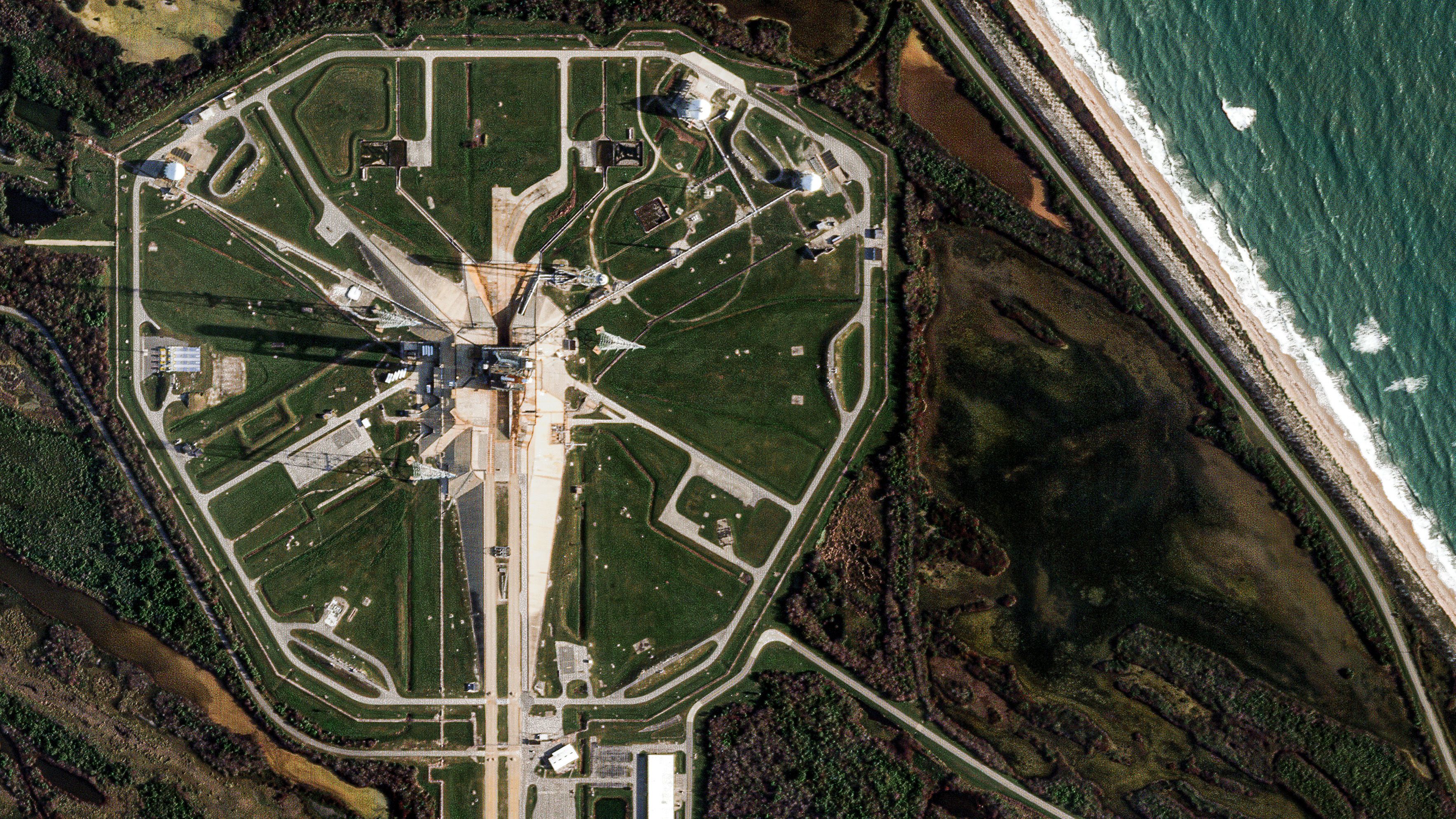
For decades, analysts monitoring remote regions like the Brazilian Amazon relied on manual analysis of satellite data to detect deforestation, a process that was time-consuming and required specialized expertise. Planet Labs has now developed an AI application in private beta that allows users to query geospatial changes using natural language, such as identifying areas transitioning from rainforest to clearcut land. The tool leverages Planet’s decade-long archive of daily global imagery, processed with advanced AI to deliver insights faster and at greater scale than traditional methods. This marks a shift toward more accessible and rapid geospatial analysis for decision-makers.
Planet Co-Founder and CEO Will Marshall has outlined a vision called Planetary Intelligence, which aims to create a real-time sensing and computing system for Earth observation. The company is integrating AI across its satellite hardware, data processing, and customer-facing platforms to enhance the detection and interpretation of changes on Earth. A recent demonstration showed AI-driven object detection deployed directly onboard a satellite, capturing imagery over Alice Springs, Australia, on March 25, 2026. These advancements are designed to make Planet’s daily global imagery easier to access, interpret, and act upon for a range of applications.
The new agentic AI application, available in private beta, combines Planet’s satellite data with public information in a map-based chat interface. Users can input prompts to analyze developments such as the construction of a data center in Tennessee, receiving before-and-after imagery, synthesized context from public web data, and tools to measure building footprints. The application is intended to streamline workflows that previously required manual GIS processing, reducing the need for deep technical expertise. This approach is expected to benefit government agencies, commercial teams, NGOs, and researchers by making complex geospatial questions more intuitive to explore.
Planet Labs describes this as a critical inflection point for Earth imaging and geospatial insights, inviting users to test early capabilities through an open beta waitlist. The company emphasizes the potential of agentic geospatial AI to transform how organizations track land-use compliance, monitor assets and supply chains, and support disaster preparedness. By integrating AI across its platform, Planet aims to deliver actionable insights with less friction, positioning itself at the forefront of a new era in geospatial intelligence.