What Is Planet University?
Planet Labs has launched Planet University, a free online training platform offering over 100 courses on Earth observation and its satellite data products, accessible to all users.
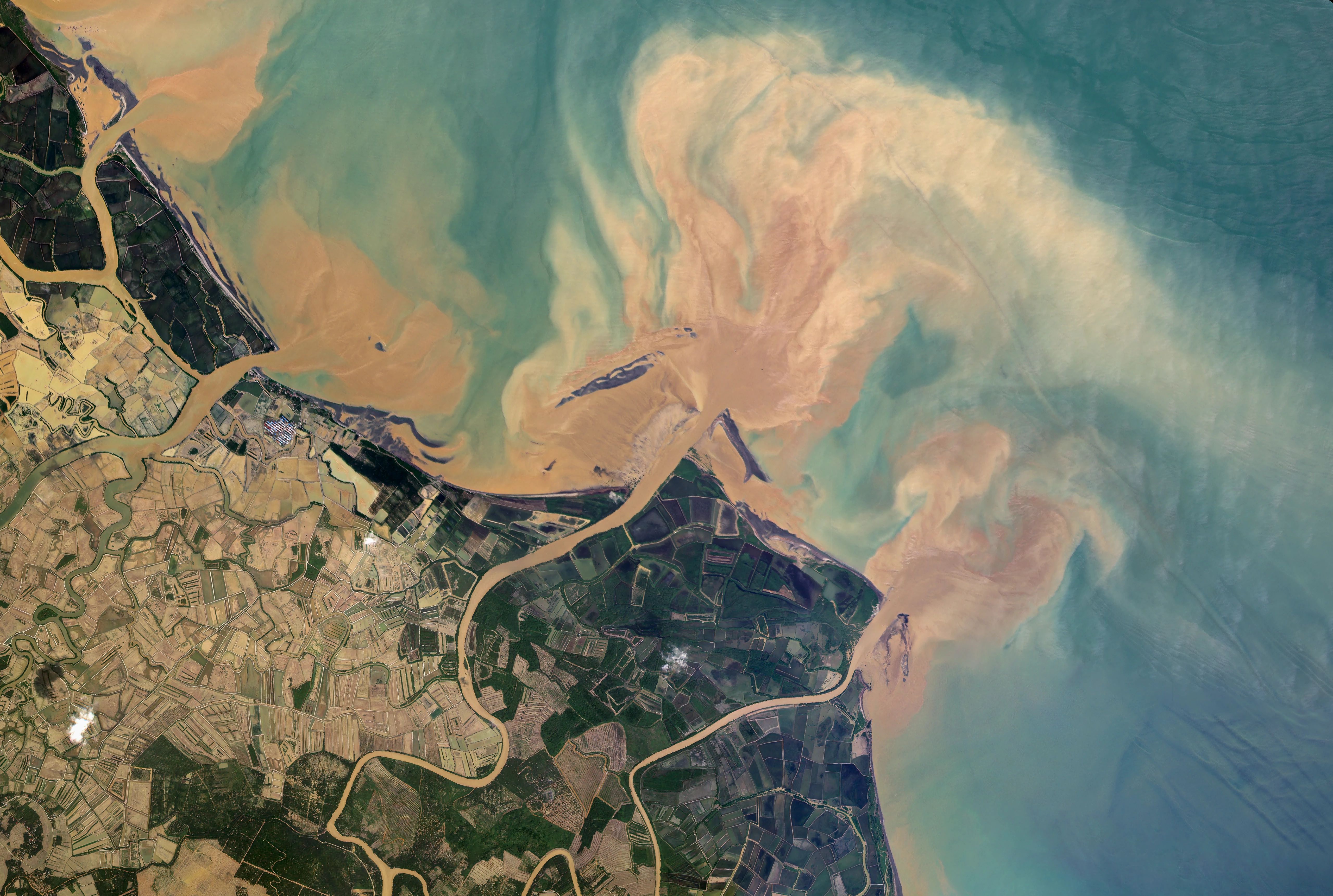
Planet University is an online training platform launched by Planet Labs to provide free access to over 100 on-demand courses covering its Earth observation products and solutions. The platform includes introductory courses on Planet Mosaics, the Planet Insights Platform, and technical guides on using Planet data in workflows. Resources such as webinars, events, and a searchable interface are available to help users locate relevant courses quickly. The platform is accessible at https://university.planet.com/ and linked from the planet.com homepage, with new courses added regularly.
The platform offers foundational courses like Introduction to Remote Sensing, designed for beginners without prior expertise in geography or Earth sciences. These modules explain core concepts such as spectral bands, spatial resolution, and how sensors detect reflected light from Earth. The training provides essential vocabulary and a conceptual framework for understanding satellite imagery, preparing users for more advanced technical tasks. This structured approach ensures learners grasp the physics of Earth observation before progressing to data analysis.
Planet University includes modules that explain the technical specifications and capabilities of Planet’s satellite constellations, including PlanetScope, SkySat, Pelican, and Tanager. Users learn how these satellites capture near-daily images of the Earth and the unique characteristics of each data product. The curriculum helps users identify which solutions align with their specific needs by providing an overview of all available products. These foundational tracks build a knowledge base about the global scale and applications of Planet’s imagery.
The platform also features step-by-step tutorials on using Planet Insights Platform and other tools, demonstrating how to search, view, stream, analyze, and download imagery. Training covers navigating web interfaces and APIs, applying filters for cloud cover or image quality, and managing data subscriptions. Users receive guidance on integrating imagery into workflows using software like ArcGIS, QGIS, and Google Earth Engine. Additional courses focus on Planetary Variables, explaining how raw satellite signals are processed into measurable data such as Soil Moisture or Land Surface Temperature.