What Are Satellite Mosaics and How Do They Keep Maps Up to Date?
Planet Labs explains how satellite mosaics stitch near-daily imagery to create cloud-free, uniform maps for large-scale analysis and monitoring.
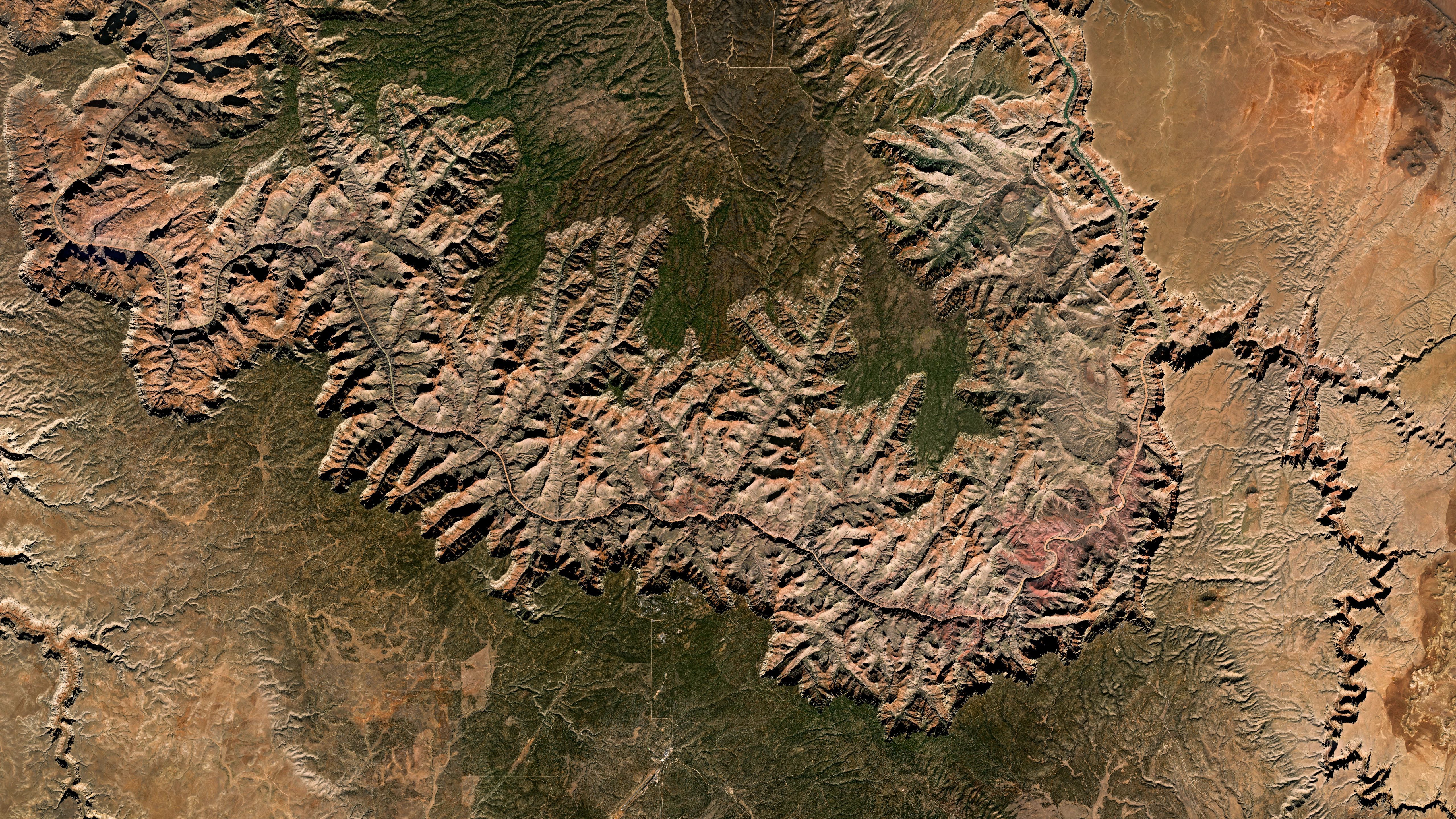
Satellite mosaics combine multiple images to cover large areas without gaps or atmospheric interference, offering clear, cloud-free views of regions or continents. Planet Mosaics use near-daily PlanetScope imagery to provide a consistent visual and spectral foundation for human review and automated analysis, such as AI and machine learning workflows. This continuous coverage supports accurate map maintenance and tracking of large-scale environmental changes over time.
A mosaic is a composite image created by stitching together smaller, overlapping satellite images to represent entire countries or continents seamlessly. Unlike single images, mosaics ensure color and brightness consistency across the entire scene, even when individual parts are captured at different times. This standardization creates a foundational map layer for geographic information systems, enabling users to view broad landscapes as a single, cohesive picture of the ground.
Mosaics keep maps current by integrating the most recent cloud-free captures available, updated weekly or monthly to reflect new construction, agricultural growth, or environmental changes. This regular refresh cycle ensures mosaics remain accurate reflections of current ground conditions. Users can make faster, higher-confidence decisions in monitoring, change detection, and analytics at scale across entire regions.
Planet Mosaics can be accessed through multiple methods, including the Planet Insights Platform, QGIS/ArcGIS Pro plugins, APIs, or tile services. The mosaics are built using orthorectification and color balancing to align individual scenes and select the clearest pixels, resulting in a seamless, uniform appearance. This process simplifies data management by providing one large file or stream instead of thousands of smaller images, offering a practical and visually clear starting point for large-scale mapping and monitoring.