How Is Satellite Imagery Used for Decision-Making Across Industries?
Satellite imagery provides near-daily Earth observation data to support decision-making across agriculture, insurance, energy, infrastructure, and government sectors by enabling real-time monitoring of change.
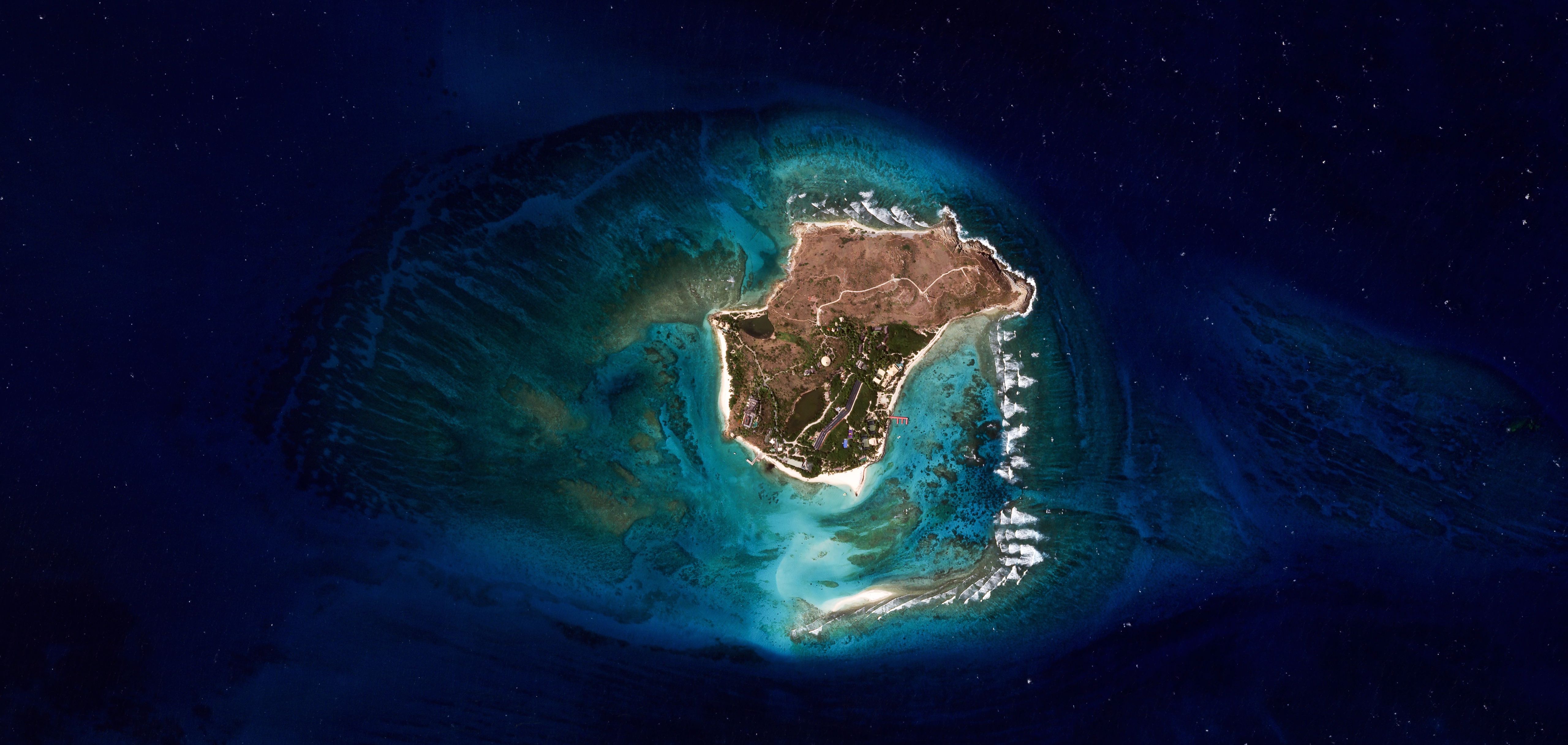
Satellite imagery has evolved from aerial photography to a critical tool for tracking global change through high-frequency imaging. Organizations now rely on continuous data streams to quantify threats, validate risks, and minimize operational uncertainties across industries. This approach replaces outdated assumptions with up-to-date visual records of Earth’s surface activity. Planet Labs operates the largest commercial Earth imaging satellite fleet, capturing near-daily images to support data-driven decisions in diverse sectors.
Commercial agriculture, insurance, energy, and government agencies use satellite imagery to optimize operations and assess risks. Insurers apply Earth observation data to refine underwriting and streamline loss adjustments, while energy analysts monitor assets and competitive activity. Governments leverage the data to observe environmental and economic changes over vast areas, gaining multidimensional insights for policy and planning. High-resolution imagery reveals structural developments, such as construction or industrial expansion, enabling timely responses to emerging conditions.
Satellite data serves as a real-time proxy for economic health, with analysts monitoring indicators like port activity or industrial expansion to estimate trade volumes and production capacity. This approach allows investors and policymakers to build models based on observed behavior rather than delayed official reports. The objective oversight provided by satellite imagery offers near-real-time clarity on market functioning and broader economic trends. Such visual cues help validate ground reports and support long-term strategic planning across sectors.
Organizations use satellite imagery to validate field reports and monitor projects, improving the speed and precision of decision-making. Governments track urban sprawl or public works progress without deploying crews to remote sites, while private companies assess risks or plan facility placements using land-use patterns. The constant stream of visual data creates a reliable record of change, enhancing accountability and enabling rapid responses to events. This capability supports both short-term operational adjustments and long-term strategic initiatives across industries.