How Is Historical Satellite Imagery Used to Detect Change and Trends?
Historical satellite imagery from Planet Labs’ 10+ year archive enables agencies to detect global changes, validate threats, and accelerate decision-making by comparing past and present conditions.
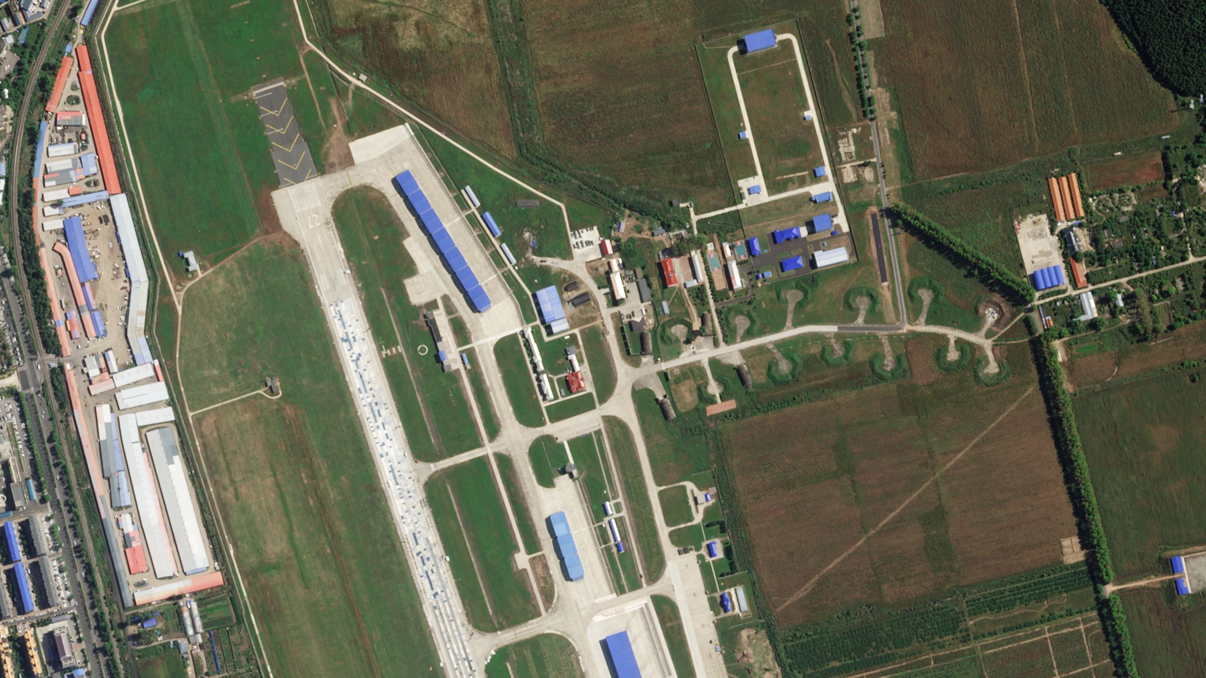
Historical satellite imagery functions as a time machine, allowing analysts to compare current conditions with past baselines to detect anomalies such as unusual troop movements or infrastructure changes. Planet Labs’ archive, covering Earth’s entire landmass with daily imagery over a decade, provides a living dataset that empowers organizations to assess risks and make mission-critical decisions with greater precision. This longitudinal perspective reveals patterns in human and environmental activity, offering insights into land use, urban development, and disaster impacts through visual records like before-and-after flood images from Colombia in January and February 2026.
The value of historical satellite data is amplified when combined with AI, as demonstrated by Planet Global Monitoring Service (GMS), which uses near-daily imagery and automated alerts to detect changes in near-real time. Defense and intelligence agencies leverage GMS to monitor sites, vessels, roads, and borders, identifying anomalies to inform decisions and accelerate response times. This AI-driven analysis scales across industries, enabling organizations to track trends in land use, agricultural health, and environmental shifts with unprecedented detail and efficiency.
Modern high-resolution satellite imagery traces back to the late 1990s and early 2000s, when commercial sensors began orbiting Earth, marking the start of detailed digital records. Before this period, lower-resolution government systems provided broader regional views, limiting local-scale analysis. Today’s archives contain trillions of pixels, documenting transitions in cities and ecosystems with increasing frequency, establishing clear digital baselines for measuring change against the recent past.
A baseline serves as a reference state to quantify environmental or structural changes, such as deforestation rates, coastal erosion, or industrial growth, without which deviations cannot be accurately assessed. Long-term satellite data tracks persistent global shifts, including glacier retreat, urbanization, and agricultural health cycles, enabling researchers and planners to develop strategies addressing root causes of regional changes. These datasets also capture ecosystem recovery post-disaster, providing critical context for interpreting new data and predicting future conditions.