How Can I Access, Integrate, and Use Satellite Imagery in My Workflows?
Planet Labs outlines three methods to access and integrate satellite imagery into workflows: web apps, APIs, and GIS plugins, with options for custom automation and real-time data feeds.
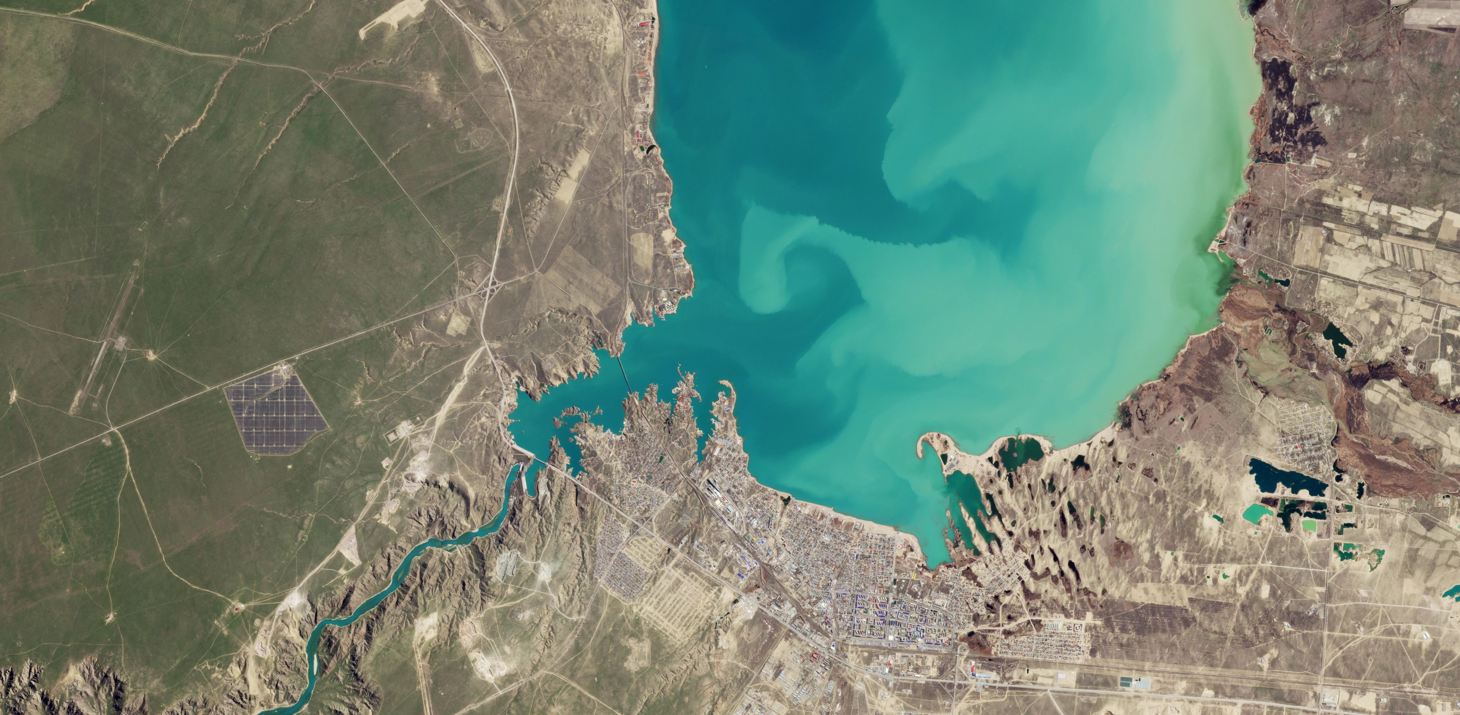
Satellite imagery access methods include web applications, APIs, and plugins for GIS systems like ArcGIS and QGIS. These tools allow users to search, retrieve, and integrate imagery directly into existing workflows without switching platforms. Custom integrations can be built using APIs and SDKs to automate data processing, enabling organizations to treat satellite data as a live feed within their technical infrastructure.
Data delivery methods such as direct cloud transfers, API downloads, and geospatial streaming services ensure compatibility with both custom software and commercial mapping applications. Planet Documentation and Q&A resources provide step-by-step guides for system integrations and API usage. Analysts can extract structured information and statistical trends from raw satellite imagery using desktop GIS software, cloud-native engines, and open-source libraries.
Standard satellite imagery products are typically available within hours of capture, with faster delivery for high-cadence systems supporting emergency response or real-time monitoring. Tiered delivery options allow users to prioritize low-latency speed for immediate awareness or high-fidelity accuracy for scientific measurement, with final calibrated versions requiring additional processing time.
Tasking new satellite imagery involves submitting geographic coordinates and time windows via a dedicated dashboard. Users select imagery type, define the area of interest, and receive an imaging window for a high-resolution satellite to capture the location. Orders can be monitored through the same dashboard, with progress tracking for capture and delivery.