Strong Environmental Policy Requires Persistent Satellite Monitoring
Governments face operational challenges enforcing new environmental policies due to outdated monitoring systems. Planet Labs proposes near-daily satellite data and AI analytics to detect policy infringements, prioritize inspections, and identify risks before damage escalates.
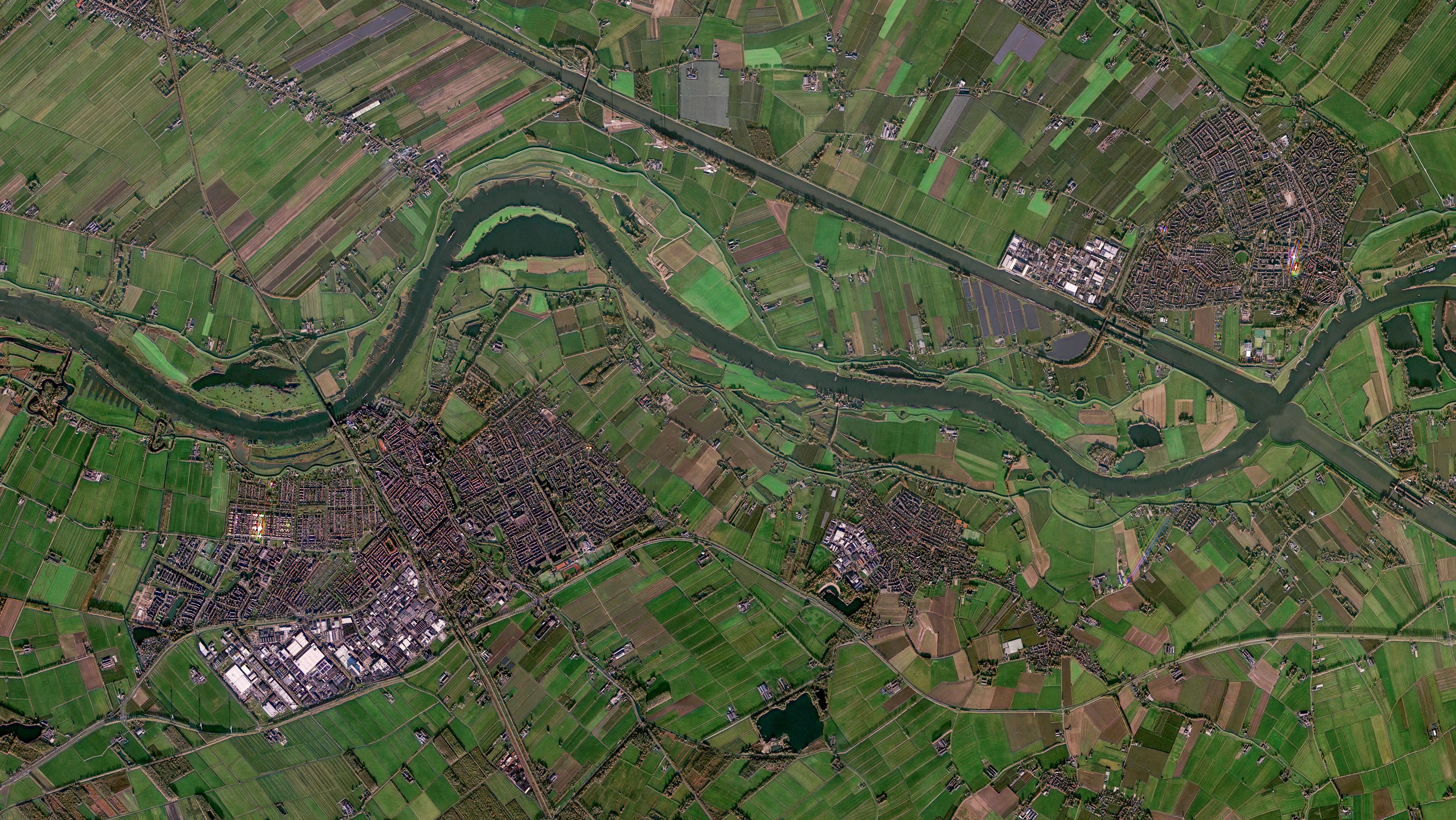
Governments worldwide are implementing stricter environmental policies to protect wetlands, restore habitats, and improve water quality, but these ambitions often outpace the capabilities of traditional monitoring systems. Agencies struggle to enforce compliance consistently across large areas with limited resources, relying on outdated methods like periodic field inspections and self-reporting. The EU Nature Restoration Regulation exemplifies this shift, requiring Member States to provide evidence of restoration progress and ecosystem recovery, which demands more rigorous monitoring than legacy approaches can deliver.
Environmental change is accelerating, making it difficult for agencies to track fast-moving developments such as fluctuating water levels or vegetation loss using conventional methods. For instance, research published in Geophysical Research Letters found that small ponds and lakes can vary in surface area by 20-40% within a single season, a level of change that periodic observation may miss. Late detection of degradation escalates costs, complicates restoration efforts, and risks public trust, legal challenges, and financial penalties for businesses and regulators alike.
Planet Labs offers a solution by combining near-daily satellite data with AI-driven analytics to enable automated change detection across large areas. This approach helps agencies identify patterns such as vegetation loss, altered water levels, or land clearance, which can then be flagged for review. The technology strengthens traditional monitoring methods by providing consistent, high-frequency data and analysis-ready formats, allowing agencies to prioritize field inspections and act sooner when environmental obligations are not met.
The state of Tennessee is already leveraging PlanetScope® data, in collaboration with Skytec, to enhance wetland monitoring. Skytec’s Ranger® platform uses Planet’s high-frequency imagery and AI analytics to detect changes like altered water levels or vegetation loss in ecologically important wetlands. This tool helps regulators identify sites requiring further investigation and take timely action when environmental standards are not being met, demonstrating how satellite data and AI can bridge gaps in traditional monitoring approaches.