How Governments Can Reduce Wildfire Risk Before Ignition
Planet Labs introduces satellite-based wildfire risk monitoring to help governments track vegetation changes and prioritize mitigation before fires ignite, addressing gaps in traditional response-focused strategies.
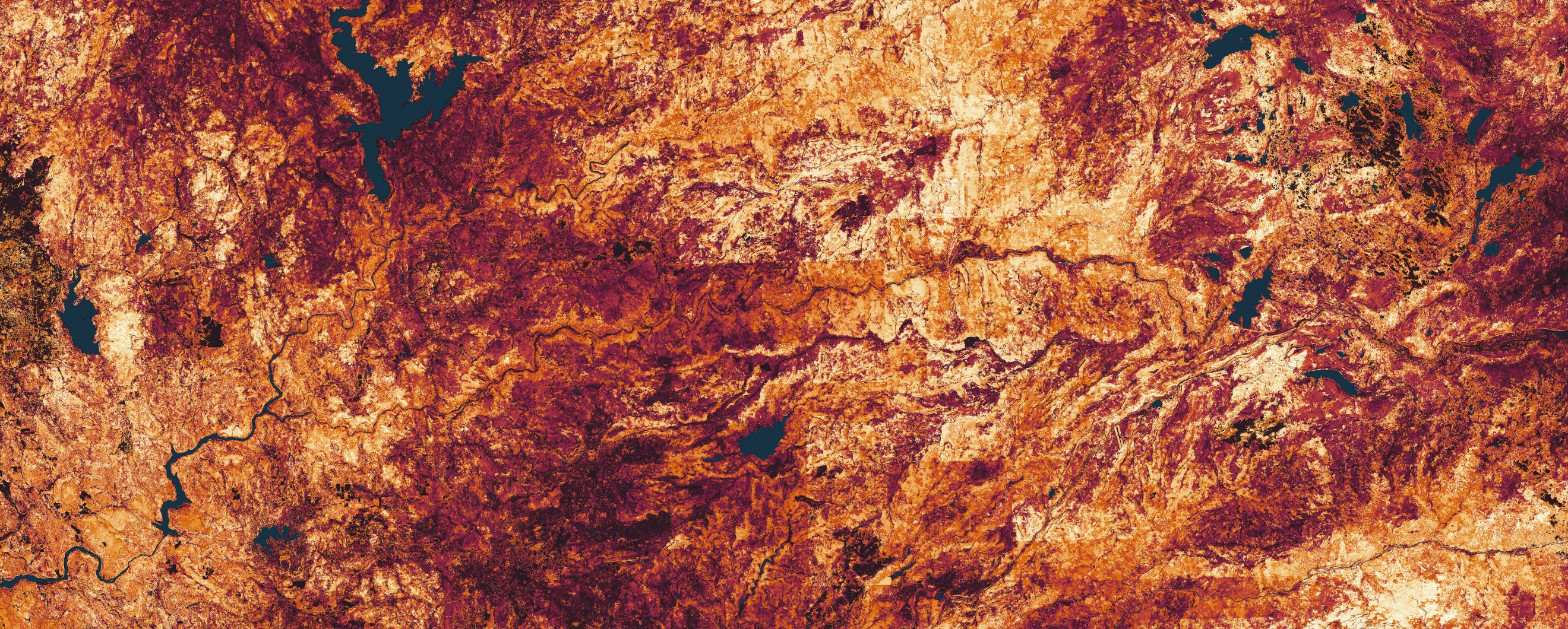
Governments traditionally focus on wildfire response, but extreme fires are shaped by conditions visible long before ignition, such as vegetation growth, drought, and development in high-risk areas. Satellite-derived data and AI-driven models now allow agencies to monitor these factors at scale, offering visibility into fuel accumulation and drying patterns that static maps cannot capture. This shift aims to reduce risk by enabling earlier intervention rather than relying solely on post-ignition response efforts.
Monitoring mitigation programs like California’s defensible space regulations (Public Resources Code 4291) has been challenging due to operational constraints. Frequent satellite imagery helps agencies track compliance, identify untreated areas, and prioritize field inspections where vegetation encroachment or dry conditions pose the greatest threat. The goal is to ensure mitigation efforts are effective and aligned with real-time ground conditions.
Planet’s near-daily satellite data, processed with AI, provides high-resolution vegetation assessments, including green-up, dry-down, and fuel moisture levels. This capability supports utilities and agencies in identifying risks near communities and infrastructure, such as vegetation growing into clearance zones or powerline corridors. The approach complements existing models like LANDFIRE by offering more current and detailed insights for risk assessment and planning.
Agencies can use these insights to strengthen wildfire preparedness by comparing pre-ignition vegetation conditions with historical fire events. Planet’s experts assist in evaluating recent fire seasons, identifying gaps in monitoring, and refining strategies to reduce risk before ignition. The focus is on integrating satellite data with existing tools to improve pre-fire risk reduction and long-term mitigation outcomes.