UN tells the world: Stop making Africa look small
The UN General Assembly adopted a resolution urging governments and institutions to use map projections that accurately represent continental sizes, criticizing the long-standing Mercator projection for distorting Africa’s relative size and perpetuating unbalanced global perceptions.
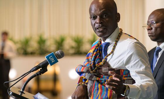
The UN General Assembly voted overwhelmingly to encourage the use of map projections that more accurately reflect the true size of continents, particularly Africa, which has historically appeared smaller than its actual dimensions on widely used Mercator maps. The resolution, endorsed by 164 Member States, does not ban the Mercator projection but promotes alternatives like the Equal Earth projection for educational and official purposes where relative size matters. It also calls for teaching the limitations of flat maps in representing a spherical planet, addressing concerns that distorted representations have contributed to a diminished perception of Africa and other equatorial regions. The initiative was led by Togo on behalf of the African group, with support from the African Union, framing the effort as an act of 'cognitive justice and memorial reparation.'
The Mercator projection, created in 1569 by Flemish cartographer Gerardus Mercator, was designed for maritime navigation, preserving straight-line compass directions at the cost of distorting landmass sizes. This distortion enlarges landmasses farther from the Equator, making Greenland appear comparable to Africa despite Africa being roughly 14 times larger. The resolution argues that these inaccuracies have contributed to the 'symbolic minimization' of Africa and perpetuated an unbalanced view of the world, particularly in educational and media materials where Mercator remains prevalent.
The United States was the sole country to vote against the resolution, dismissing it as part of a 'radical ideological project' and criticizing references to 'reparations' and 'cognitive justice.' The American representative argued that the initiative undermined the credibility of the institution, while France took a contrasting stance by announcing plans to abandon the Mercator projection for its official world maps. France’s decision aligns with the broader effort championed by the African Union, signaling a shift in how some governments address historical cartographic distortions.
Concerns were raised by Ukraine and the European Union regarding the potential for equal-area maps like Equal Earth to create ambiguity over disputed territories, such as those occupied by Russia. Ukraine warned that endorsing such projections without safeguards could open a 'Pandora’s box,' allowing maps to influence perceptions of sovereignty. The European Union supported the resolution but echoed these concerns, highlighting the need to balance efforts to correct historical distortions with the risks of inadvertently legitimizing territorial disputes through cartographic choices.